INTERACTIVE ELEMENT ON THE EXHIBITION IN ČERVENÝ KLÁŠTOR:
MAPPING ON A 3D landscape relief made of wood (approx. 1.5 x 1 m "3D model") on a pedestal, placed on a table (3 x 2 m) with a side video.
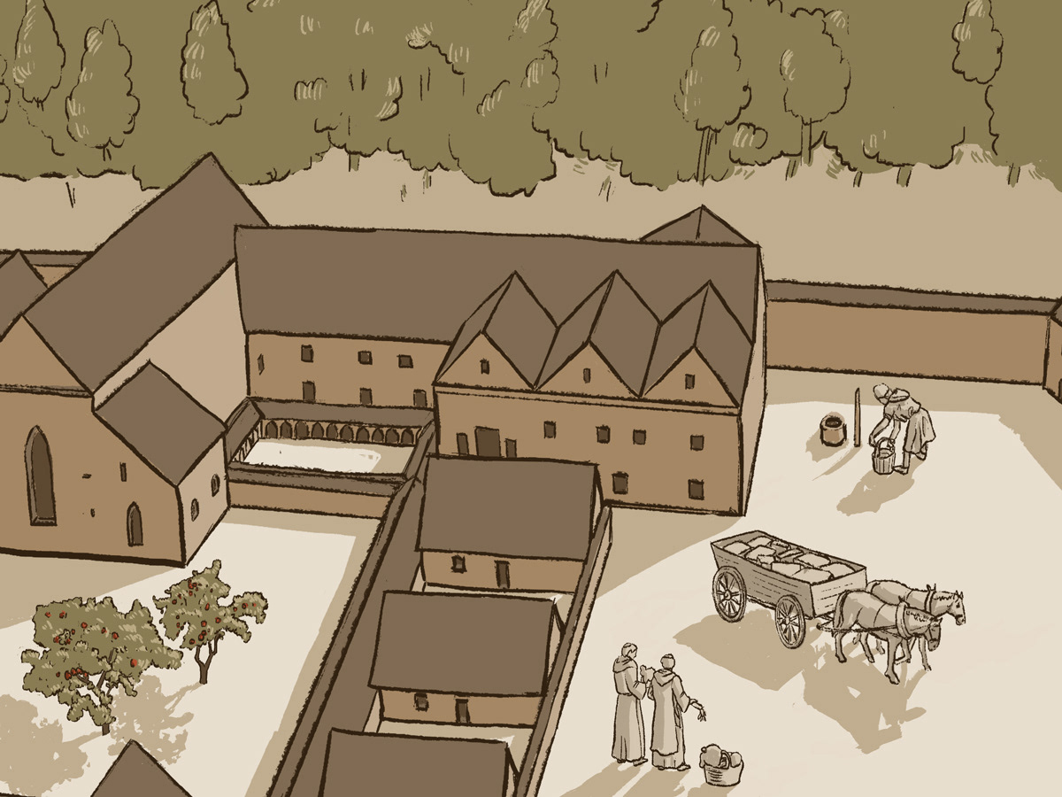
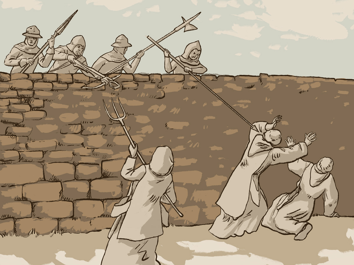
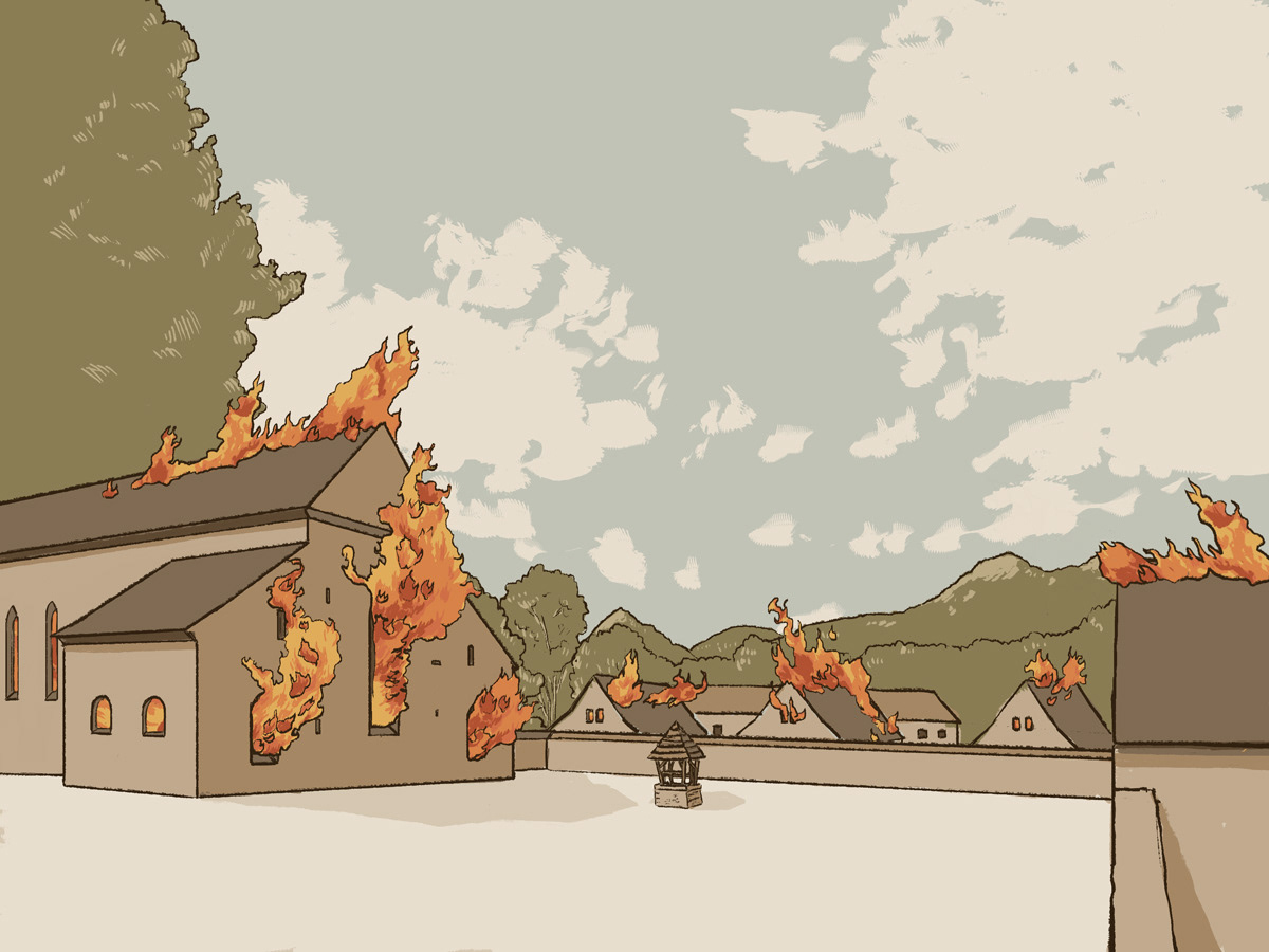
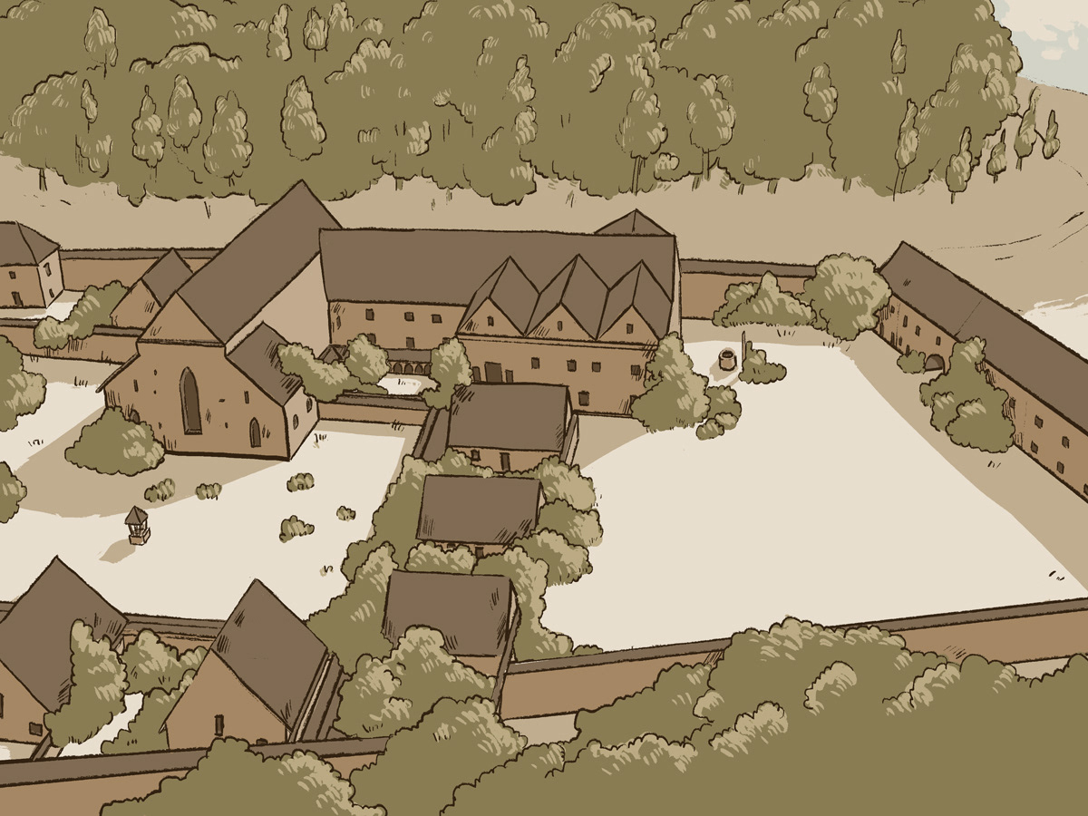
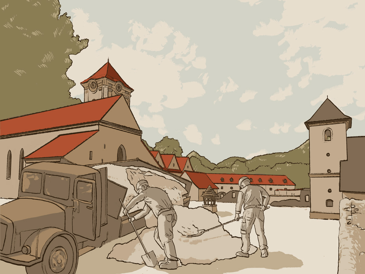
The purpose is to provide the visitor with a simple and comprehensible form of the construction-historical development of the monastery on the horizontal surface and additional, explanatory information on the vertical surface of the walls through mapping and animation. In a loop, the repetitive production is voiced, and the narrator comments on the events on the horizontal and vertical surfaces and lasts about 5-6 minutes. The construction of individual parts of the monastery complex over time uses an integrated mechanism for extending and retracting the surfaces of individual structures of the monastery buildings. The ground plans, plans and maps of the monastery, as well as the processed history of architectural and construction development, serve as a basis. Mapping on the table gradually shows animations - how the monastery itself, its grounds and the immediate surroundings developed, in the context of selected historical turning points - significant events that took place here. Projection on a 3D model (1.5x1m) where the background of the table (2x3m) complements the development in the form of a story - in the form of illustrations, animations, approximating the everyday life of the monks in the monastery in individual periods: from the time of the arrival of the Carthusians, through the construction of the monastery, their departure, stage without a monastic order and later the arrival of the Kamalduls and their interventions in the monastery and the main representatives, their abandonment of the monastery up to its fate in the 20th century, its renewal and the present. All supplemented with appropriate time data.
Credits:
Storyboard, concept art, illustrations - Lenka Cisárová
Animation, videomapping, sound: Vladimír Stefánek
Animation, videomapping, sound: Vladimír Stefánek
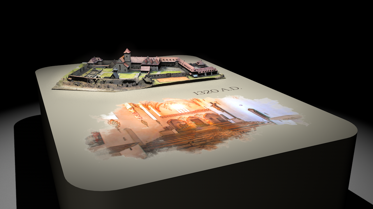
Visualisation of a model and projection
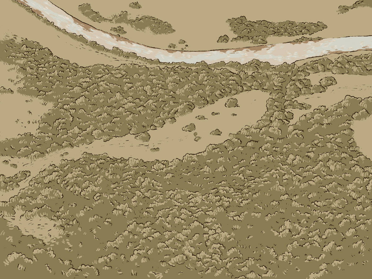
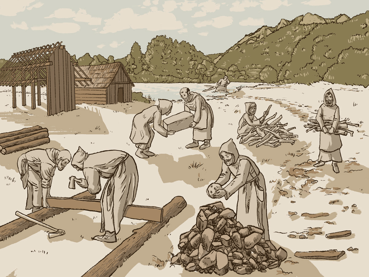
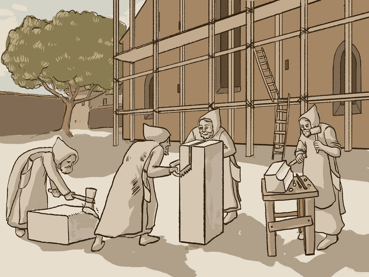
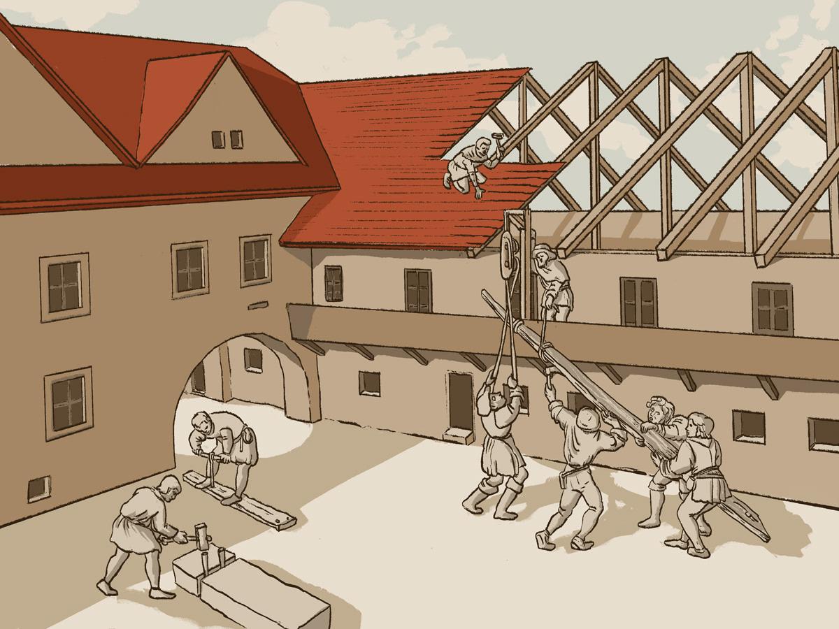
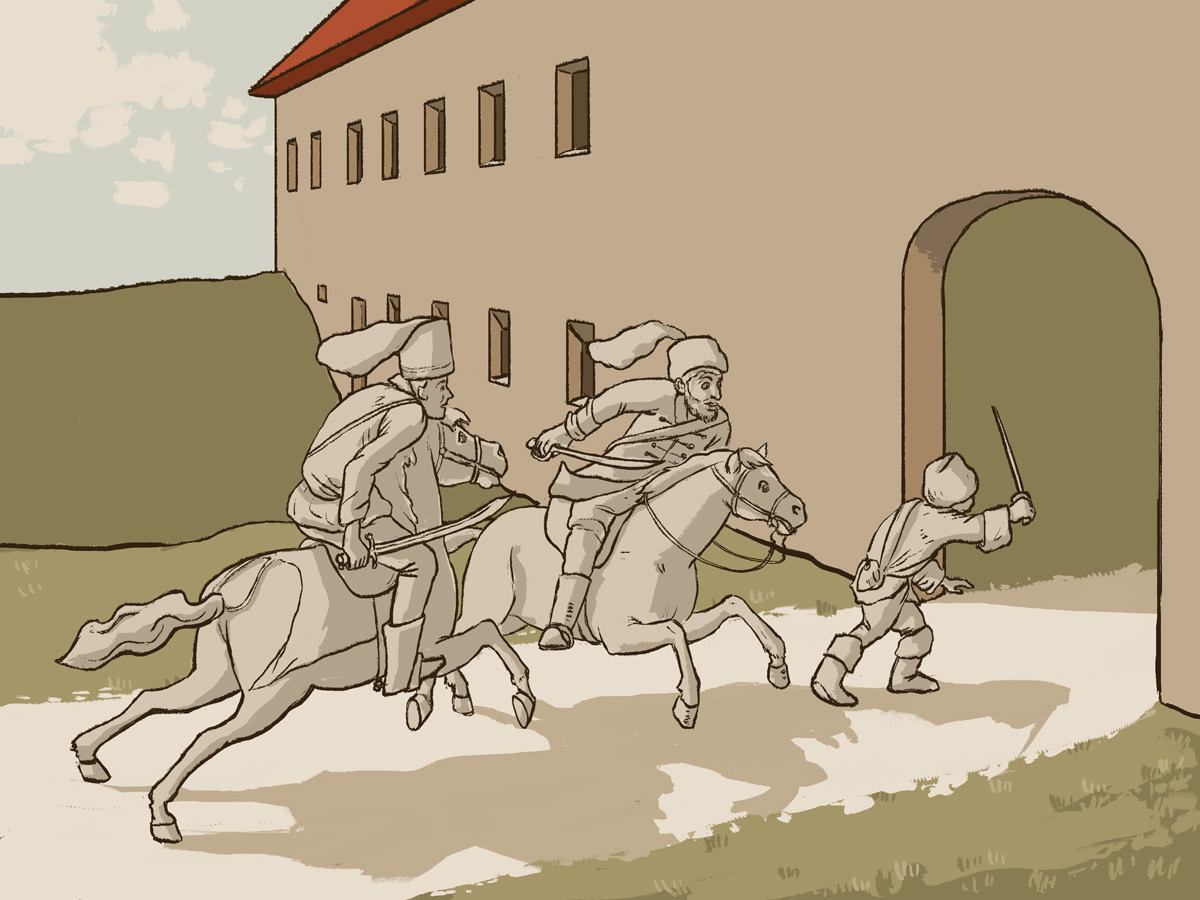
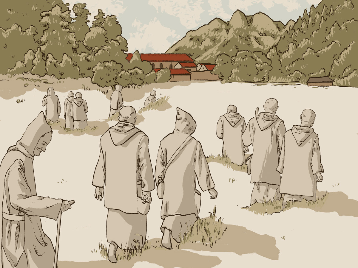
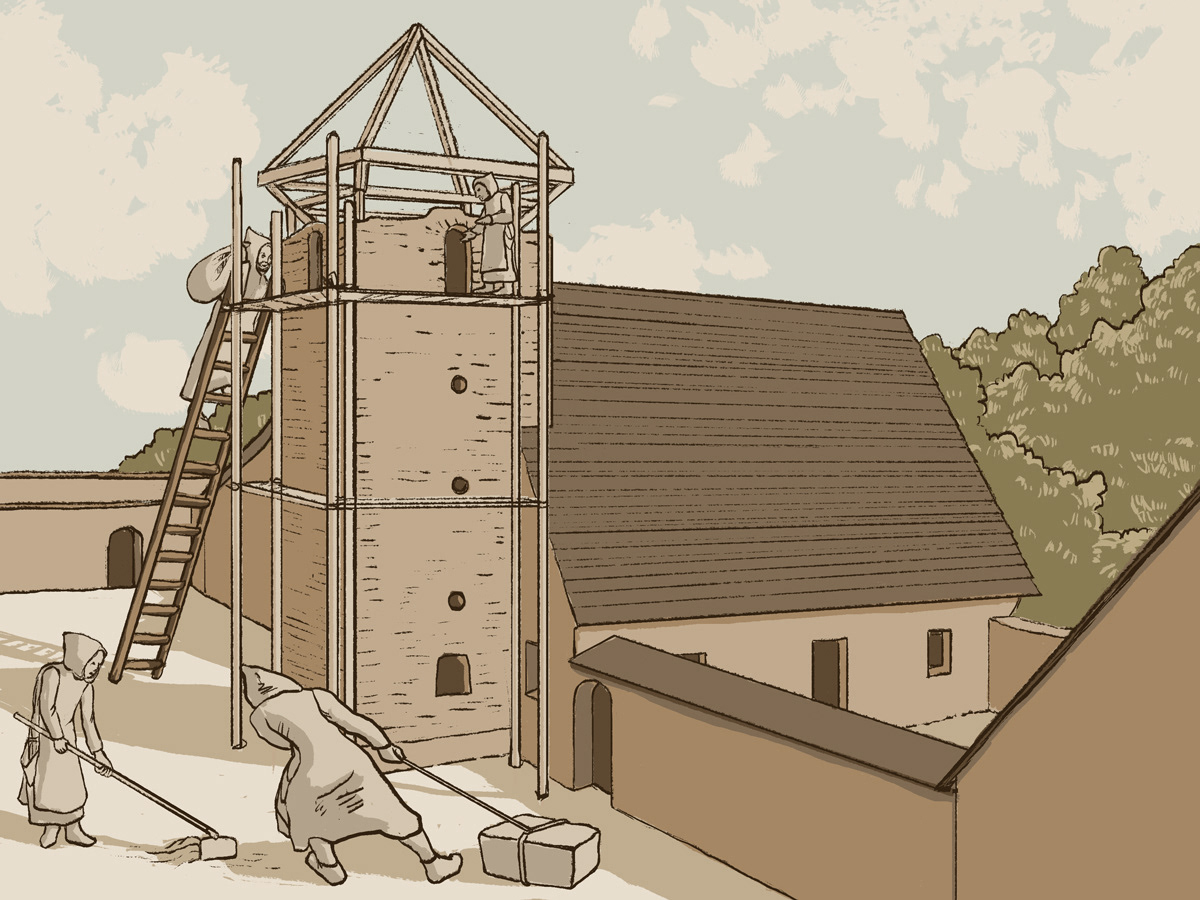
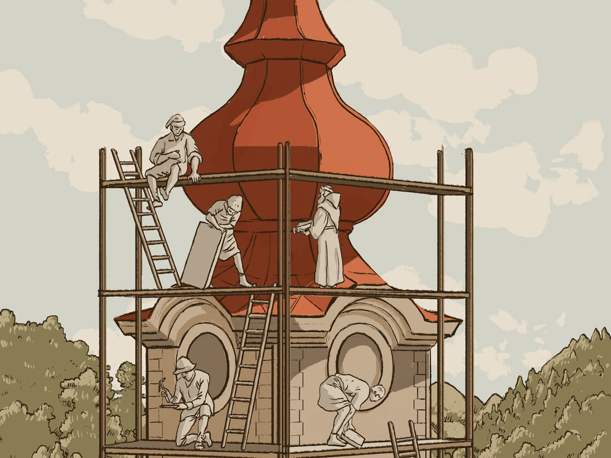
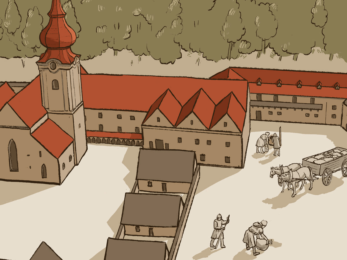
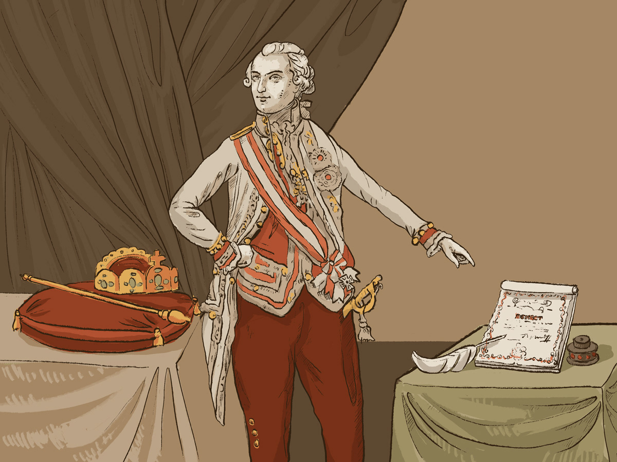
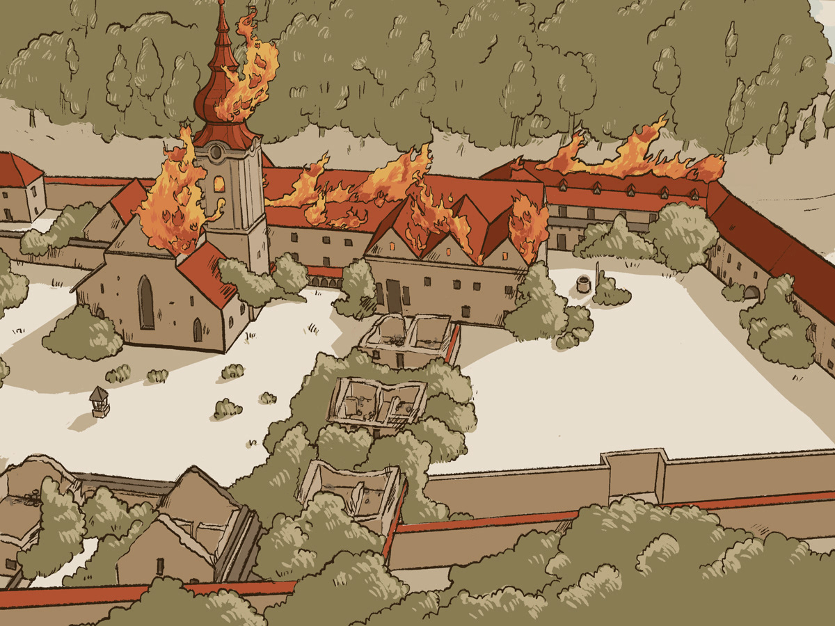
Illustrations for animation